|
|
|
UPPER CANYON
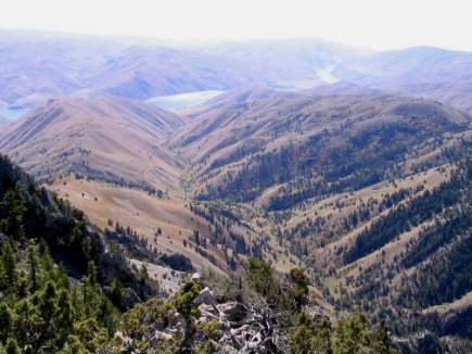
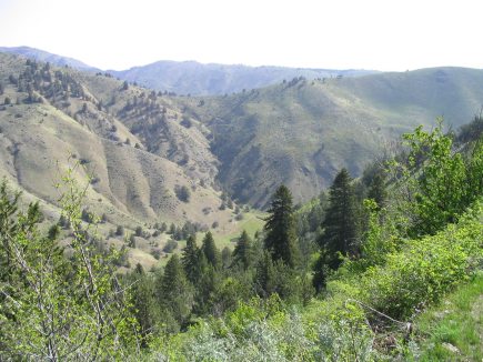
View of canyon from Lookout Mountain, September, 2004. This view looks south and shows the two surrounding ridges and Brownlee Reservoir on the Snake River and hills in Idaho in the distance. The dogleg in the center of the picture is the site of the 10-acre field, and it is part of an earthquake fault zone. The bottom 20% of the photo is BLM property.
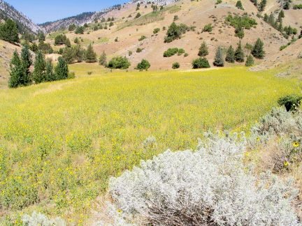
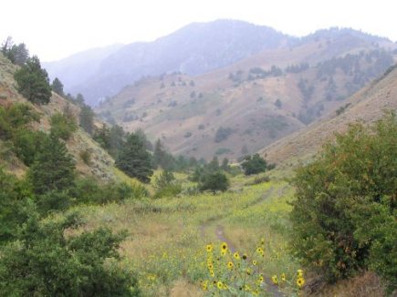
The 10-acre field covered with sunflowers in 2004. The previous year, this filed was covered with Scotch thistle, so the change is remarkable.
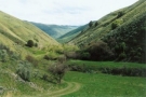
Upper canyon - looking down on the 10-acre field from the west ridge and across to the east ridge.
Upper canyon on a rainy day.
|
|
|
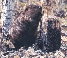
Fox Creek Farm
|
|